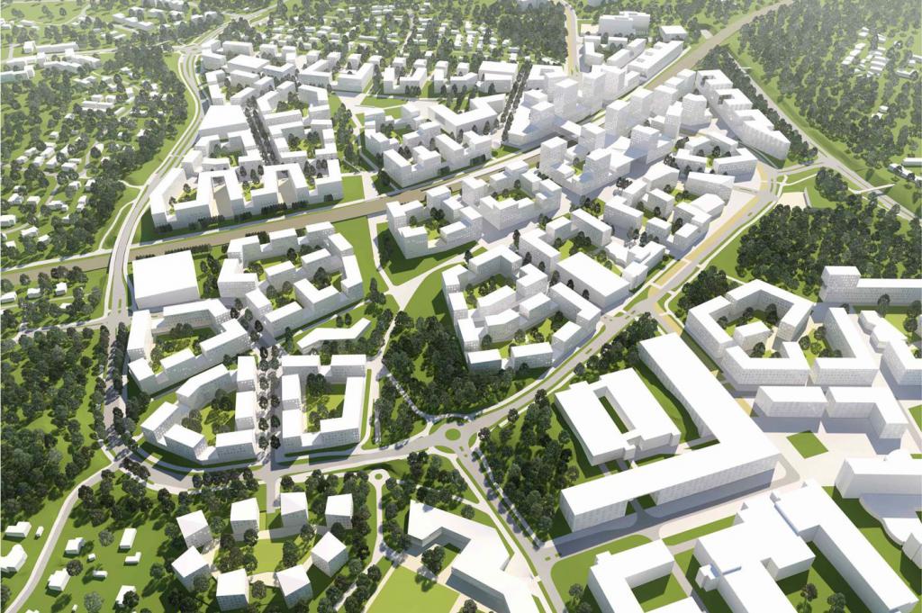
A prerequisite for the implementation of urban planning of any settlement is the zoning of the territory. It is necessary to establish the procedure for using the sites from the point of view of the intended purpose.
The purpose of zoning is to create a comfortable, thought-out space. Its main advantage lies in the rational division of the area into certain parts.
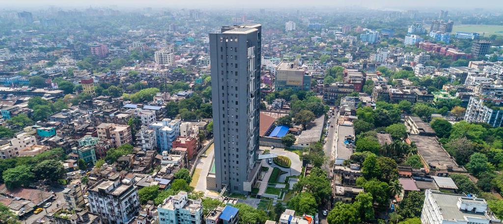
Today, functional zones are available in all cities of the world. All of them are located in settlements, based on the type and purpose. It is these two indicators that are taken as the basis for the division of the territory.
Zoning of the territory in the city
When drawing up a document for urban planning, the formation of the planning and spatial structure of the area is performed. At the same time, zoning of the urban area is carried out, which helps to prevent the impact of negative industrial factors on human health. In this case, there is a division into the following categories on the ground:
- Residential. In these areas, residential areas are located, as well as community centers and green spaces.
- Industrial. In the process of zoning of the territory in these areas, the construction of production enterprises is provided.
- Utility warehouse. This zone is necessary for placing garages and depots, places for storing goods and other objects of a similar purpose.
- Recreational. In such areas are beaches, parks and other places intended for short-term relaxation of people.
In addition, the settlement certainly includes an external transport zone. It houses freight and passenger stations, marinas, etc. Zoning of the territories of settlements provides for sites that are located outside of buildings. They are intended for cemeteries and subsidiary plots, tree nurseries, etc. When zoning the territory of the city, reserve areas are also allocated. They can temporarily be used for a variety of purposes.
Consider the characteristics of the main zones located within the boundaries of settlements.
Residential area
The construction of cities began in ancient times, when people began to unite to protect their clans and territories. At the dawn of the development of human society, such settlements were small villages. They consisted of several huts and were located around some cult place. In the ancient world and during the Middle Ages, the territory of cities was already significantly increased, and even then residential zones began to stand out in them. There are such sites in modern cities. However, unlike ancient settlements, where the development took place spontaneously, modern urban planning provides for work based on a clear plan that has been prepared in advance, which takes into account all the needs of the population.
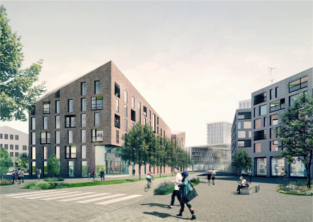
Residential areas exist for any functional zoning of the territory of modern settlements. And a similar rule is respected regardless of their size. So, zoning of the territory of an urban settlement involves the allocation of residential areas with their division into microdistricts and areas. Together, all these components create a single administrative unit.Microdistricts in large cities and megalopolises are certainly separated by landscape and highways. Unite such parts of housing estates public institutions.
Residential structure
When conducting urban planning zoning of the territories of municipalities, their borders are taken into account based on the existing natural relief. It can be, for example, a river, a mountain, a ravine and other natural obstacles.
However, there are many examples of cities that were initially located on one bank of the river, but as they developed, they expanded and “crossed” to its other side. In such cases, the location of the PV ceases to influence the zoning of the territory. And the characteristics of the zones from the natural landscape will not change. Examples of such cities are Kiev with the Dnieper, Dusseldorf with the Rhine, Budapest with the Danube.
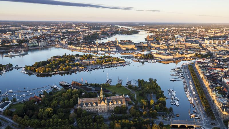
How is the division of residential areas of settlements? Their structure in urban planning zoning of the territory directly depends on the occupied area. For example, in a metropolis, several microdistricts enter residential areas. Moreover, in each of them from 150 to 250 thousand people can live, which corresponds to the scale of the average city. Residential zoning zones of the territory of medium-sized cities are several residential areas. In small towns, he is only one.
Placement of residential areas
Residential areas provided for with functional zoning of the territory are intended for the construction of houses for the population. At the same time, residential quarters should be located at a certain distance from the industrial zone and harmful production. In addition, the urban development plans provide for:
- the number of buildings with a distance between them;
- artificial or natural recreation area;
- roads, which are designed to connect residential neighborhoods with each other and with the center of the village;
- climatic conditions, including the direction of winds and storm drains.
If, when planning the territory of a residential zone, it becomes obvious that air flows are mainly moving from enterprises to residential areas, this area is not considered as residential. In addition, the construction of a plant or factory requires the organization of a green zone. In the case of hazardous industries, their distance to residential areas should be at least 1000 m. Average hazard indicators provide for the creation of a green zone of 500 m. Enterprises whose emissions do not pose a particular threat to human health can be located 300 m from residential areas. Not at all harmless - at 50-100 m.
In any case, when zoning the territory of the city, all the necessary indicators are subject to careful study and accounting. Only in this case the housing will be built in an optimally comfortable and safe place.
Architectural solutions
In accordance with the zoning of territories, planning for construction is also taking place. So, before designing the next microdistrict, the architect will have to formulate a composite idea. A kind of "skeleton" of the residential territory is the building, which houses the governing bodies, kindergartens and cultural facilities, sports and trade facilities. Everything in such quarters should be located in such a way that each of the residents of the microdistrict could easily get to the right place through pedestrian alleys or internal driveways.
Also important is the number and direction of activity of shops, markets and other objects included in the residential area, as well as the architectural style that is accepted for their construction. With a professional approach, it is necessary to take into account the natural features of the area and the historically established flavor of city streets.
Location of industrial enterprises
With the functional zoning of the territories of settlements, a place should be provided for the construction of factories.To do this, in the urban development plans, industrial areas are distinguished. It is on their territory that various enterprises with their main and auxiliary production facilities are located.
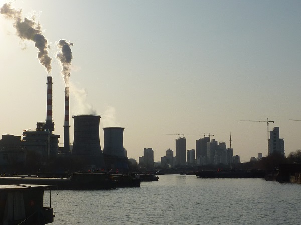
When zoning the territories of settlements, the location of industrial areas should be planned in such a way as to ensure their rational connection with the microdistricts. This will allow residents of the village to spend a minimum amount of time traveling to their place of work. In addition, rational conditions allow timely servicing of enterprises by internal and external transport in accordance with their functional requirements.
Industrial sites
When zoning the territory of the city, the area of the areas intended for the placement of factories and plants on them is determined based on the conditions of their location in the structure of the city. Depending on the value of production, their multi-story construction, as well as the use of underground space, can be provided.
When zoning industrial areas, as a rule, four types of areas are allocated:
- The site on which the auxiliary factory facilities and buildings are located. Their list includes the entrance and factory management, premises and buildings of cultural, educational, medical services and a laboratory. This also includes the pre-factory area, as well as parking for passenger vehicles.
- Production area. It includes the main workshops involved in the procurement, processing and assembly of products. This also includes utility plots serving this enterprise.
- The area where the energy and storage facilities are located.
- Transport area. It includes various transport facilities, for example, tracks and marshalling yards.
Sometimes buildings that belong to 1, as well as to 3 and 4 zones, are organized to serve several enterprises at the same time, and even the entire industrial area.
Creation of complexes
If it is necessary to reconstruct industrial areas during zoning of the territory, the regulation of their development should be provided for with the simultaneous identification of reserves to provide an opportunity for further development of the retained enterprise.
Today, there is a tendency to group plants and factories into complexes. At the same time, enterprises with a common source of raw materials, a technological process, mutual utilization of waste or products, etc. are taken into account. However, there are some limitations. The fact is that with excessive concentration of capacities, a significant increase in harmful emissions occurs, which is unacceptable from the point of view of sanitary services.
Tape Industrial Areas
When zoning the territory, plots with the placement of factories and plants on them can be built on the basis of the principle of linear development. This is possible when industrial areas are located along the railway. The main disadvantage of such a location of the zone is the impossibility of its further development due to nearby routes. Tape areas are usually planned in the presence of plants that are close or homogeneous in their class of hazard.
Deep industrial areas
This type of production zone provides for the development of factories in the direction of the city. In this case, one of the transport routes is introduced rather deeply into the industrial area. Such an artery is intended for the main movement of human flows.
The whole industrial area when using such a scheme is divided into two tapes. Each of them develops from the city and adjoins residential development. With this decision, railroad tracks, as a rule, approach the city and cover this zone from almost all sides.The main disadvantage of such zoning is the large extent of the industrial territory, as well as the significant lengthening of urban transport routes.
Sanitary Protection Zones
Such territories are an indispensable element in the design of any object. Sanitary protection zones are bands separating industrial enterprises, as well as other sources of biological, chemical and physical effects on human health and the environment, from residential areas.
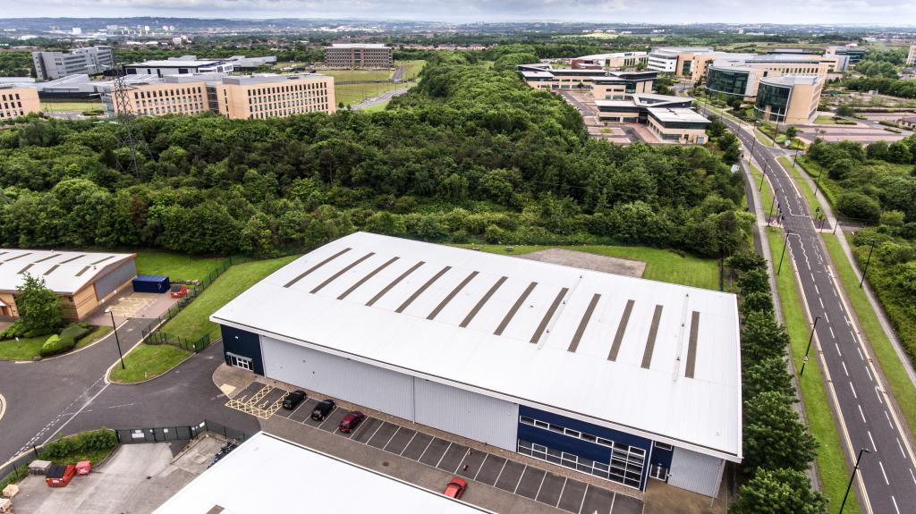
Such sites are being designed in order to reduce atmospheric pollution, bringing the values of these indicators to established standards. But it should be borne in mind that this is possible only after the implementation of the necessary environmental protection measures by enterprises.
During the functional zoning of the territory of the sanitary protection zone, it must be properly landscaped, landscaped and organized. The main task in this case is to ensure real protection of residential areas from pollution. In addition, the sanitary protection zone is being developed taking into account another function. This site must meet all the requirements that allow for architectural and compositional coordination of residential areas and industrial enterprises.
On the territory of sanitary protection zones, as a rule, tree and shrub plantings are planted. The size of the area occupied by them directly depends on the width of the zone. If its values are within 300 meters, plants should occupy at least 60% of the entire territory. With a width of 300-1000 m - at least 50%, and with values of 1000-3000 m - at least 40%.
Plants that are able to show resistance to pollution of the atmosphere, soils, as well as industrial emissions should be used for sanitary protection zones. In this case, it is necessary to provide for the arrangement of ventilation corridors in this area. It can be railways and roads, ponds, power lines and other open spaces. When designing a sanitary protection zone, such ventilation corridors should not be directed towards residential areas.
When creating a project, developers should decide on the following:
- with measures aimed at protecting the population from the harmful effects of industrial emissions;
- with the regime of use of the protective territory.
Communal and warehouse area
When developing urban development plans, 1.5-2% of the territory of a settlement is allocated to such sites. At the same time, zones should be allocated for warehouses that help minimize cargo flows, except for transit traffic.
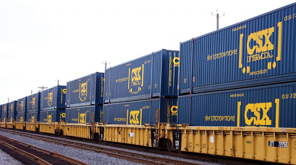
On these sites are buildings and structures belonging to several industry groups, namely:
- industry;
- trade;
- construction;
- fuel industry and other areas.
When developing a urban development plan, the following factors may influence the principles and forms of placement in the territory of the settlement of the warehouse facilities:
- intensity of use;
- functional and spatial organization in the structure of the city;
- spatial and spatial solution of warehouse buildings.
The basis of the layout is the zoning of the specified territory. In this case, the following sections are distinguished:
- storage areas designed to perform the functions of reception, further storage, as well as sending various goods;
- transport zones necessary for the implementation of freight traffic;
- areas intended for industrial and domestic services;
- sanitary protection zones.
When designing, warehouses are located in close proximity to automobile, railway and other communications, linking them with all types of urban and external transport.
Recreational areas
In the process of urban planning in any locality, the territory is provided, which is necessary to restore the health and strength of the population. In the city, such areas are parks and gardens, as well as other places intended for recreation. Sometimes such territories are understood as suburban forest parks.
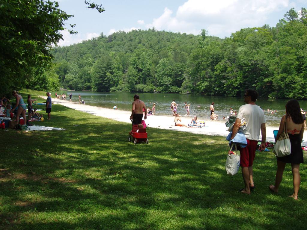
The environment, which is formed in the recreational zone, should provide a person with aesthetic, psychological, bioclimatic and physical comfort, contributing to a good rest. This becomes possible if:
- sufficient areas of landscaped territory, specially equipped for various forms and types of recreational activities;
- service facilities in the recreation area, having a convenient location (points of sale, meals, parking lots, rental equipment, etc.) located within 250-300 m from places of concentration of people;
- Convenient transport links connecting recreational areas and residential neighborhoods.
The design of such sites should take into account the size of such territories at the rate of 500-1000 square meters per visitor.
One of the most important indicators, which reflects the qualitative characteristics of recreation, is the psychological comfort of a person. It depends on the number of visual and noise contacts between people who came to this zone. Providing psychological comfort in city parks allows finding no more than 8 people in a radius of 25 meters. The same indicator in the forest park is 60 m, and in forest zones - 100 m.
In addition, the recreational area should provide a comfortable landscape. This concept is a combination of socio-psychological, technical and biomedical properties that can satisfy certain needs or requirements of human life.
So, if the settlement is located on the sea coast, then this recreational zone should be turned into a cultivated area on which there is an engineering infrastructure that allows people to rest. These are hotels, beaches, rest houses, boarding houses, rescue services, etc.
For short-term recreation of people living in cities, suburban forest zones are also intended. The main property of these territories is the different natural composition of plants growing there. Tree plantations, which are often created by human hands, are represented by broad-leaved, small-leaved and coniferous species.
Forest park areas are usually equipped with bicycle and pedestrian paths. Service and trade points function on their territory, there are children's playgrounds, etc. When designing such zones for areas occupied by technogenic elements, minimal areas are allocated. Moreover, all such objects should be located optimally for the convenience of using them.
